Large, neat and well designed maps of Southeast Asia and ASEAN might be useful to help those who need to illustrate their websites, blogs and presentations, or create their own maps. Here are some brand new maps, especially created by ASEAN UP, to be used directly or to be elaborated upon to create beautiful modern maps.
We have produced these maps so that you can use them in any way you need because we couldn’t find any large and modernly designed maps… If you use them on your websites or blogs, please consider adding a link to ASEAN UP, and don’t forget to let us know what you think in the comments. Enjoy!
ASEAN maps
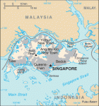
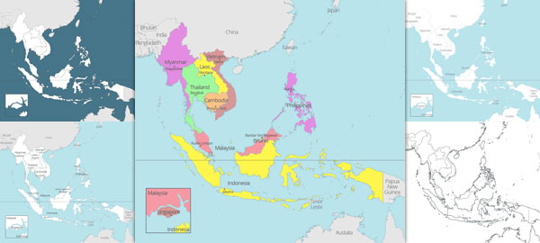
ASEAN map with countries and capitals
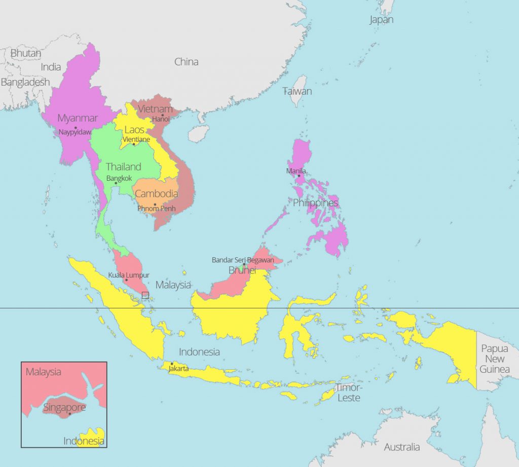
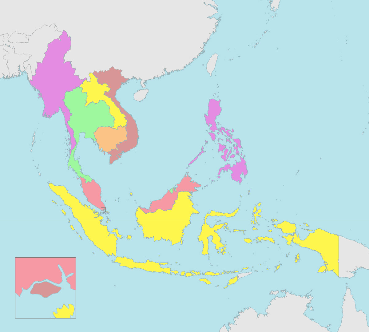
ASEAN blank map with countries
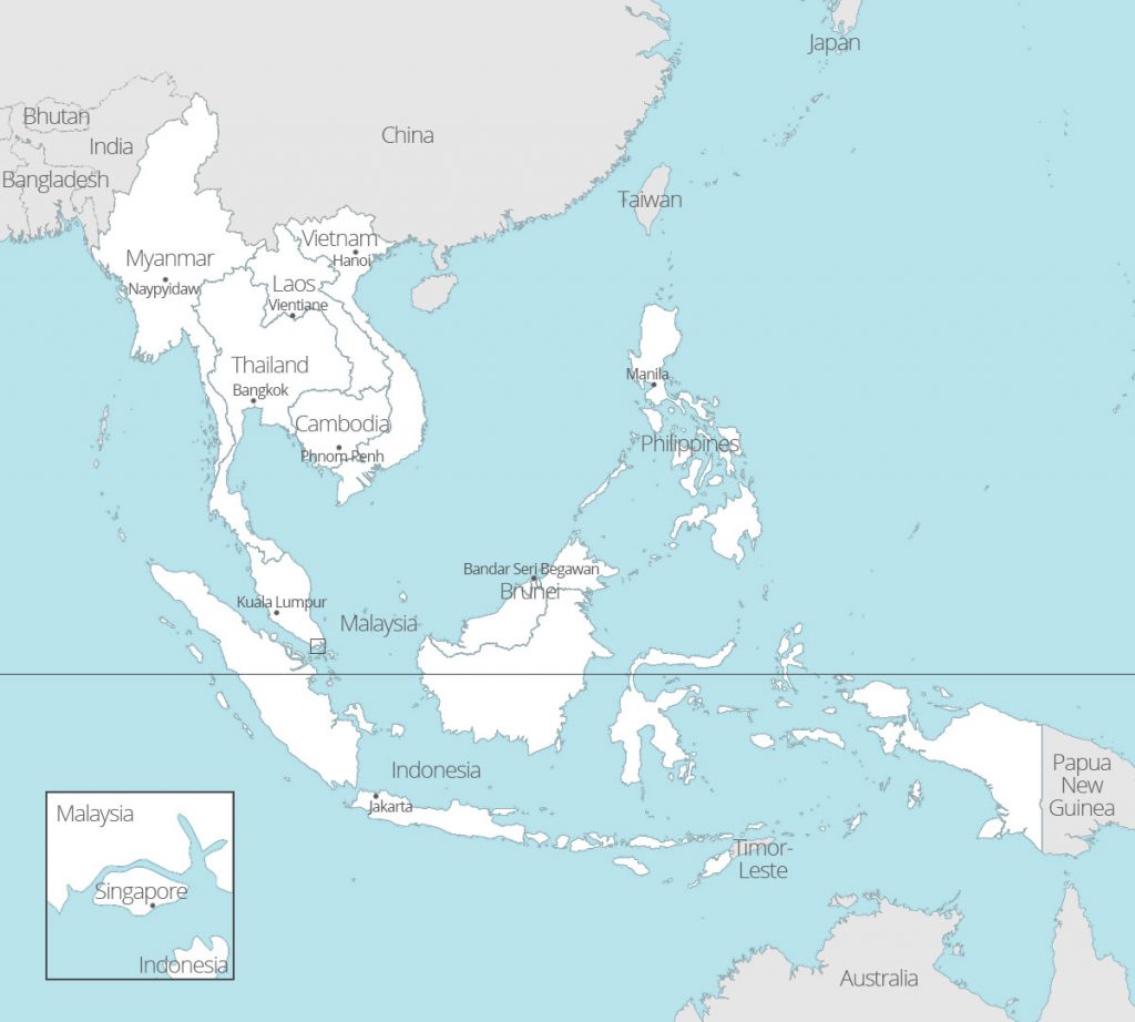
ASEAN map with countries and capitals – white
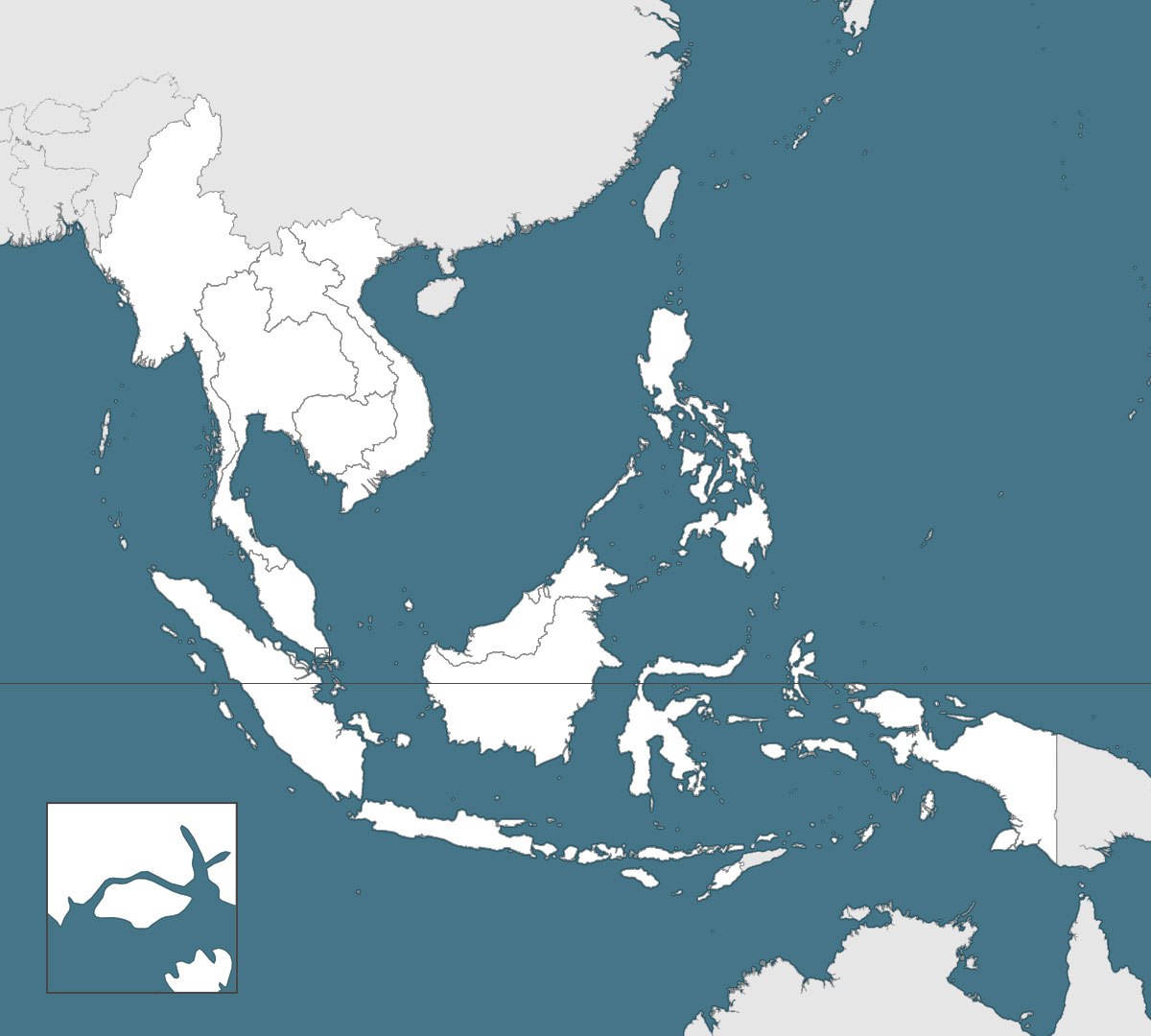
ASEAN blank map with countries borders
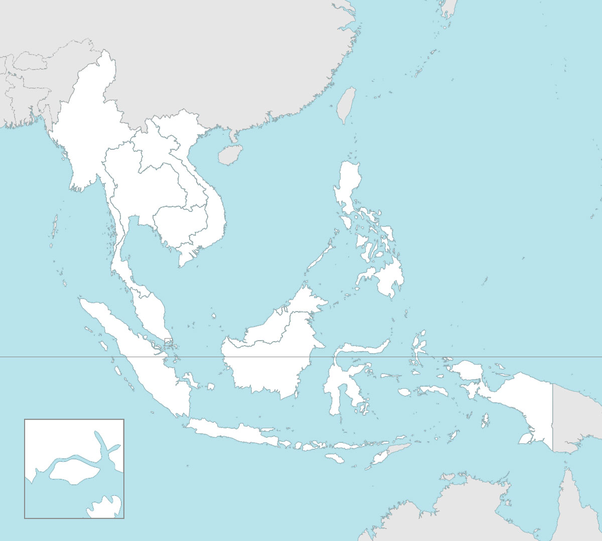
ASEAN blank map with countries borders and darker background
Maps of ASEAN coutries
 If you are looking for maps of each individual ASEAN country -Brunei, Cambodia, Indonesia, Laos, Malaysia, Myanmar, the Philippines, Singapore, Thailand and Vietnam – or more geographical maps of Southeast Asia, we have gathered a series of free maps of Southeast Asia and ASEAN countries from around the web.
Southeast Asia maps
Southeast Asia map with countries
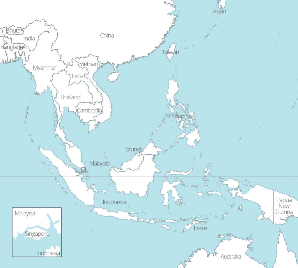
Southeast Asia blank map with countries borders
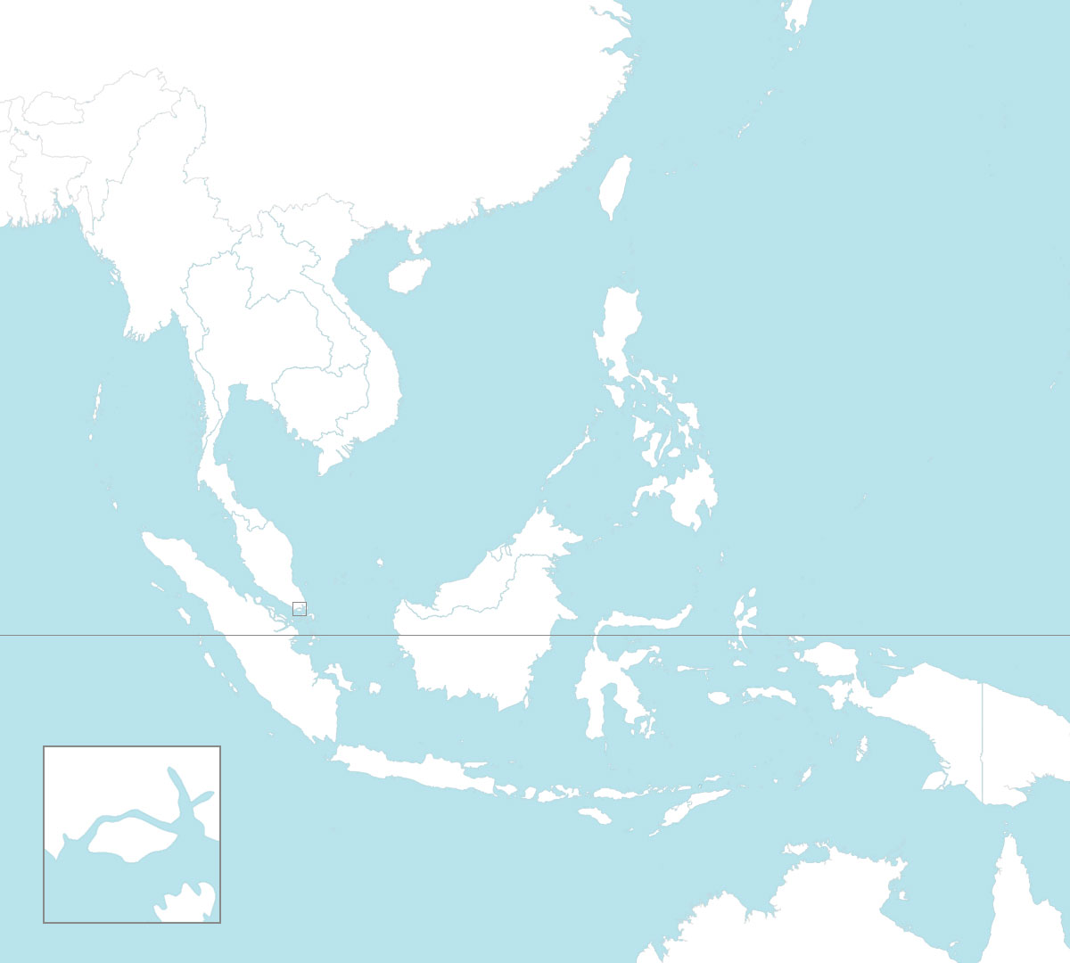
Southeast Asia blank map with borders and coasts outlines
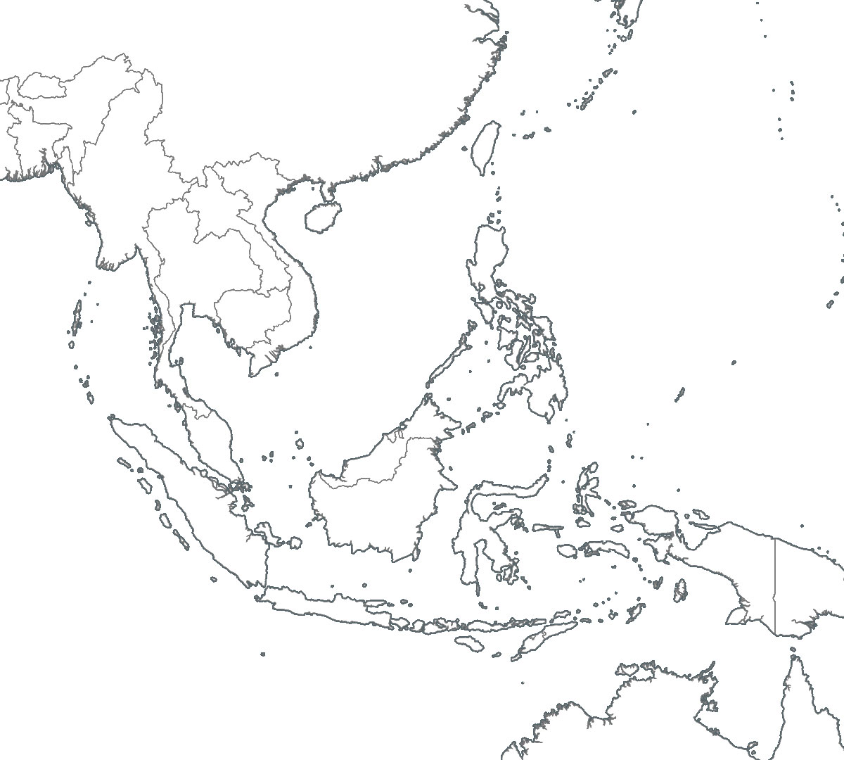
Note that we created these maps using the open source software Tilemill.
What do you think of these new maps? Are they useful? Would you need other maps? Let us know in the comments!



Any chance of getting higher resolution, then they could be better for larger slide presentations.
Did you click on the maps? You will see them in full resolution: 1200x1080px.
Hi!
Thanks for sharing. I really like the pictures you shared, but I am wondering if you are able to tell me how to highlight areas like Vietnam in color while others remain white so that I can make an impressive presentation with vivid pics. Thanks!
Hi Tyler,
Well, you will need an image editing software like Photoshop to be able to modify the maps directly.
Otherwise you could insert a map as a background in PowerPoint or Word and edit upon it with the tools available.
Hope this helps!
Just used the map with country names in my master thesis (thanks for sharing). Some changes though:
Bangladesh, Australia are spelt wrong.
The Thai border changed slightly recently (not really noticeable).
Timor-Leste is missing the hyphen on the map.
For my purposes I also wanted Cocos, Paracel, Spratly, Christmas, Adaman & Nicobar isles added. I did that, but I do not have a font given to match it – can you tell us which you used? Also for printing it would be better to have black names not a dark gray…
Sorry for the late validation and thanks for signalling the spelling errors, they’ll be corrected and updated soon.
The font is “Source Sans”. It’s great that the maps are useful!
Cheers
Hi,
The maps have just been corrected for orthographic mistakes.
Thanks for signalling the issues again.
Thank you for the free map. I will be using it for my paper.
Do you have editable ones so I can selectively color on each country…
thank you so much for the sharing
Hi,
You can use the white maps to color the countries as needed, it all depends on the software you want to use to edit it.
Otherwise, you can have a look at Tilemill which allows you to create your own maps, though it is not very convenient to use.
Cheers!
Hi, dear ASEAN UP
Thank you for sharing. I am using ASEAN map with countries and capitals for my journal publication. It really helps!
You’re welcome! 🙂
Hi ASEAN Up
Greetings!
May I use some of your maps for book publication? Thank you very much
Yes, of course. They are free of copyrights.