Some maps of Myanmar can come in handy to detail ideas or projects for your website or blog, or to create your own maps. Here is a collection of copyright or royalty free, labelled and blank maps of Myanmar to be used directly as is, or to be elaborated upon to create beautiful modern maps that suit your purposes.
We have collected these free maps around the web and produced the two large and blank maps so that you can use them in any way you need. If you use them on your websites or blogs, please consider adding a link back to ASEAN UP, and don’t forget to let us know what you do with them in the comments. Enjoy!
If you need more maps of Southeast Asia, ASEAN and its member countries, check the following resources:
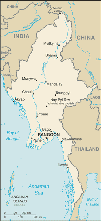
Map of Myanmar (2008)
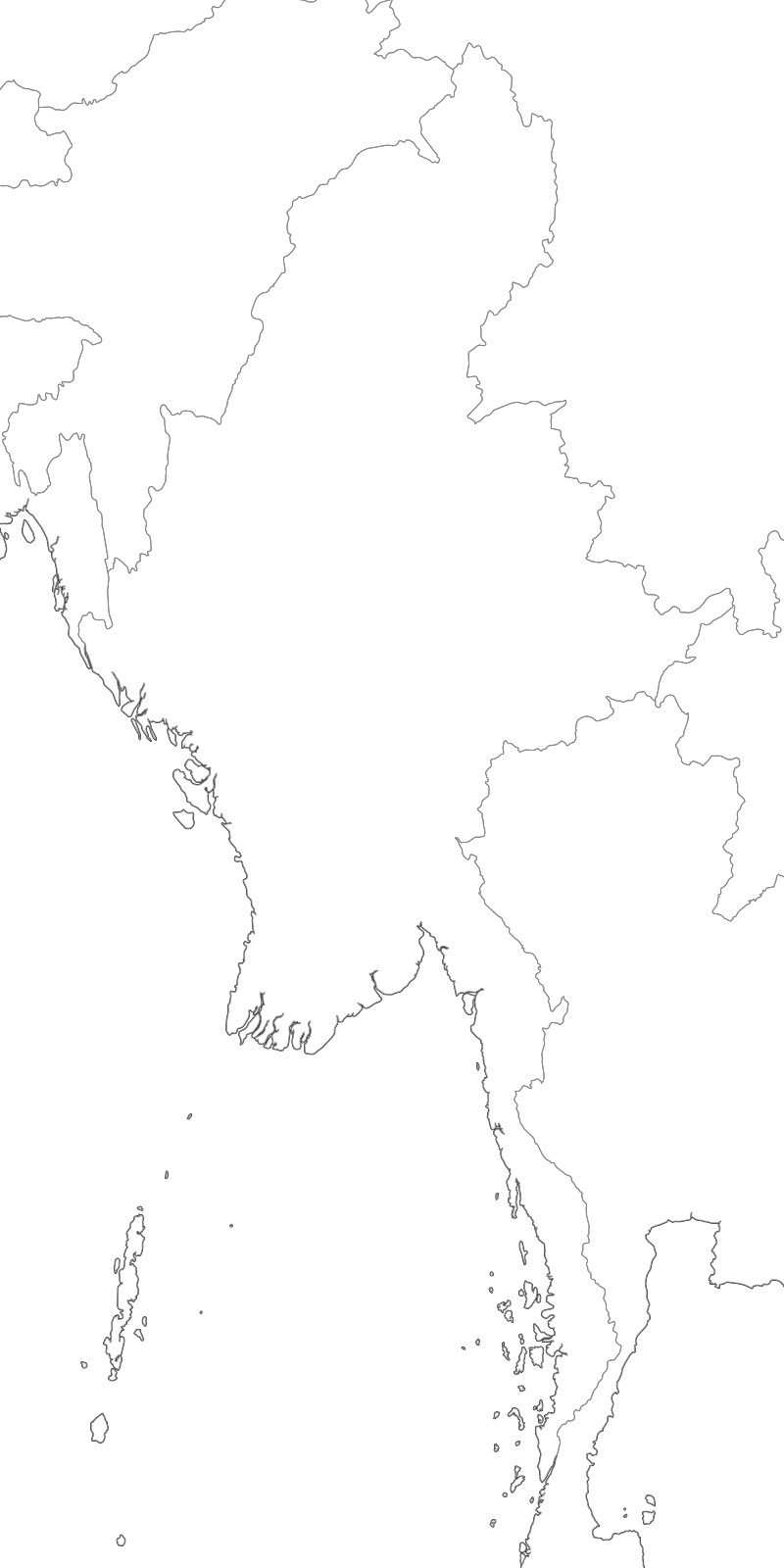
Large Myanmar blank map with countries borders
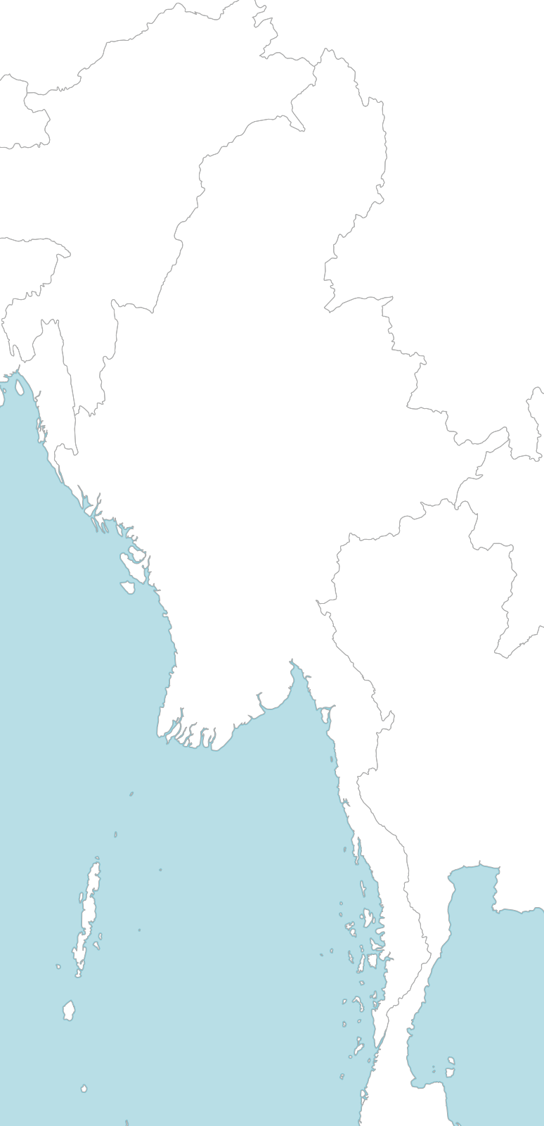
Large Myanmar blank map with borders and coasts outlines
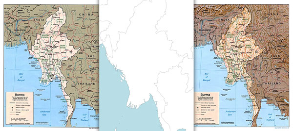
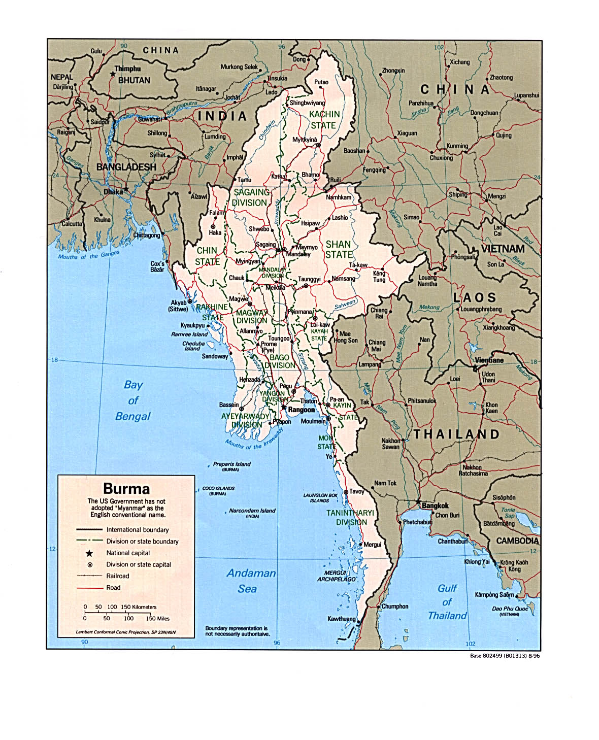
Political map of Myanmar (1996)
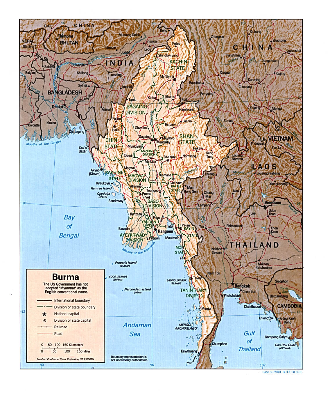
Physical map of Myanmar (1996)
Blank maps created using the open source software Tilemill, the other free maps can be obtained from the US Central Intelligence Agency.
What do you think of these new maps? Are they useful? How do you use them? Would you need other maps? Let us know in the comments!


